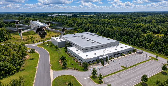
Aerial Data for Better Decisions
MAP IT. MEASURE IT. INSPECT IT. MODEL IT. MONITOR IT. MARKET IT.
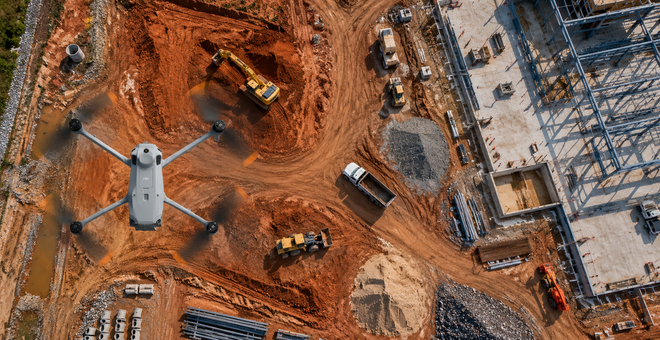
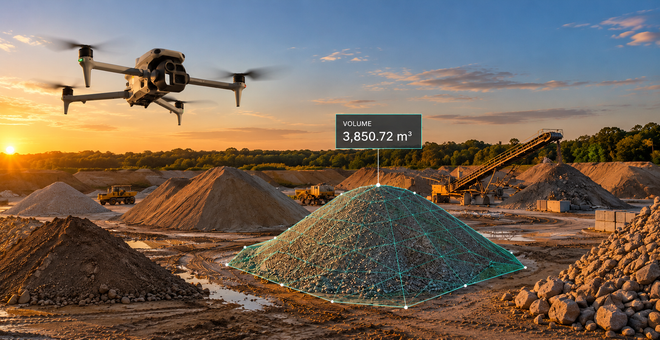
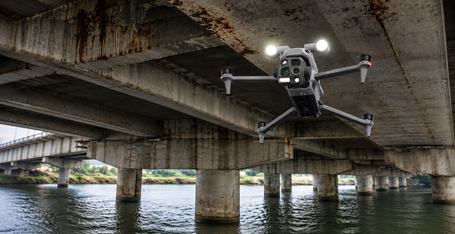
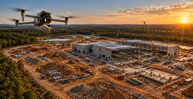
QuickView transforms aerial imagery into maps, measurements, inspections, models, progress records and visual media that help project teams understand conditions and make informed decisions.

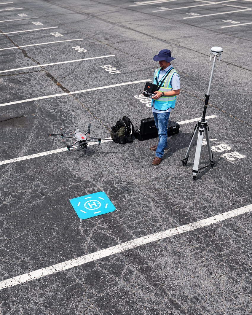
What Can We Help You Do?
Start with the problem you need to solve. QuickView will determine what should be captured, how it should be processed and what should be delivered.
One Workflow
Every project begins with the decision, document, measurement or presentation you need.
01 — Define
Clarify the intended use and required deliverables.
02 — Plan
Design the mission around the site, conditions and output.
03 — Capture
Collect systematic RGB, thermal, video or panoramic data.
04 — Process
Convert imagery into maps, models, measurements or finished media.
05 — Deliver
Package the results for the people who will use them.